


 User Center
 My Training Class
 Feedback


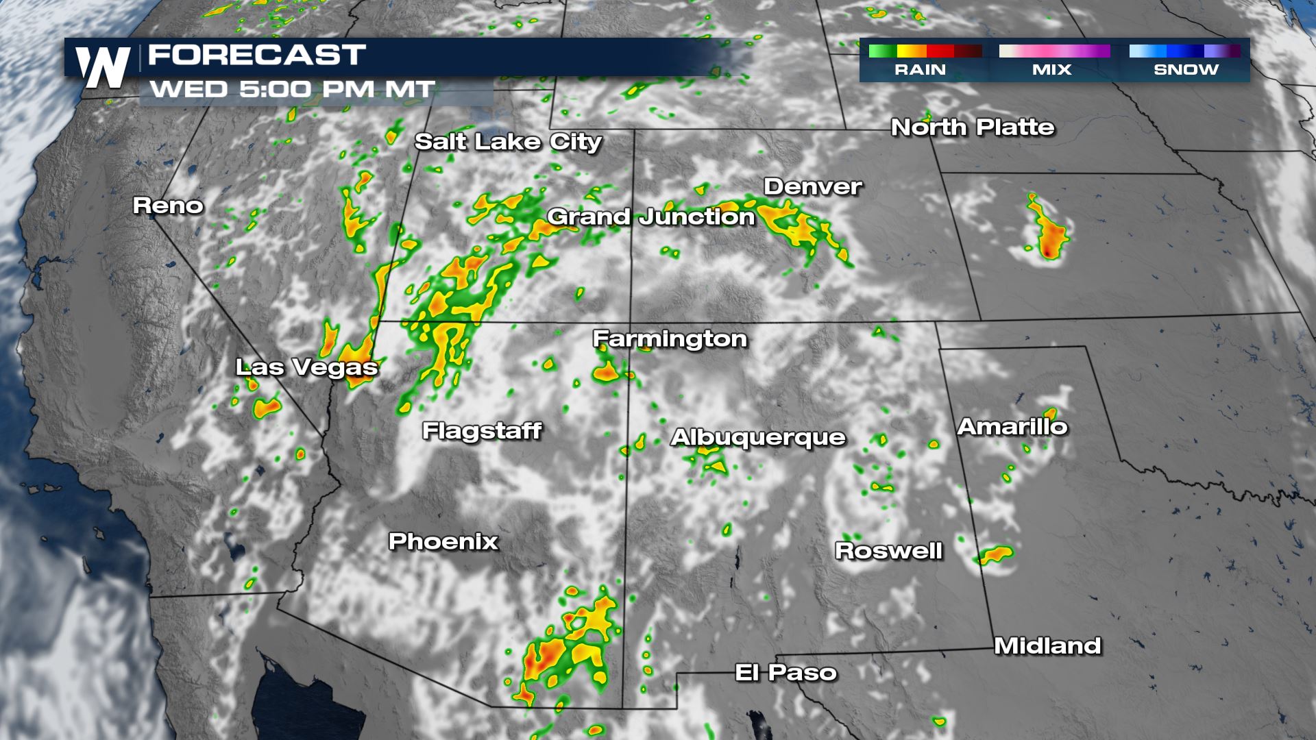
Monsoonal Moisture Arriving to the Southwest

Severe Outlook
Monsoon season is underway and the moisture is finally arriving to the desert southwest. There is a chance for some isolated to strong severe storms this afternoon in New Mexico.

The risks embedded in the thunderstorms will be mainly damaging wind.

Storms will be isolated in nature and are expected to build with the daytime heating. The strongest of the action will be late afternoon and early evening.

Dry Thunderstorm Threat
The heat remains in place through the southwest which become problematic when thunderstorms are in the forecast. The rain evaporates but cloud to ground lightning is possible. This creates the dry thunderstorm risk which could lead to naturally started wildfires.

Wednesday the risk for dry thunderstorms starts to increase. There could be morning thunderstorms which continue to last into the late night hours in the southwest and four corners.

Any storms that linger late into Wednesday could contain gusty wind, lightning and pockets of heavy rain. The rain is so beneficial but any electricity causes for concern in these extremely dry locations.
Accumulations are likely to be up to an inch with the rain over the next few days. This could lead to some localized flooding with how dry the clay soils are in this area. It takes time for the ground to absorb the heavy rainfall.

Fire Concerns
There are still elevated risks for wildfire dangers as it remains hot but the risks slowly drop off as more moisture builds into the region.

There will be some measurable amounts of rain but just not enough to become a drought buster in the southwest.


Comments
Something to say?
Log in or Sign up for free